Handling area discrepancies in land registration is the process of resolving issues that arise from inaccurate measurements or changes in actual land boundaries compared to the data recorded in the Land Use Rights Certificate. Long Phan Consulting Company provides comprehensive legal solutions for handling area discrepancies in land registration, ensuring the rights of landowners. This article details our services.
Solutions for Handling Area Discrepancies in Land Registration When Measuring for Land Use Right Certificates
Risks from Area Discrepancies in Land Registration
Area discrepancies in land registration create serious legal risks and difficulties in exercising land rights. These risks must be identified and addressed promptly.
Impact on Land Use Rights: An incorrect area on the Land Use Rights Certificate complicates property transfers, sales, and mortgages. Competent authorities will require a re-measurement to determine the exact area before a transaction can proceed. This area difference makes legal procedures complex and time-consuming. Buyers or transferees may refuse the transaction due to concerns about legality.
Disputes with Neighbors: When actual land boundaries differ from the information on the Certificate, conflicts arise with adjacent landowners. Incorrect measurements can cause boundary overlaps with neighboring properties. Resolving these disputes requires agreement from all involved parties, which affects neighborhood relationships and consumes time and emotional energy.
Asset Loss: A landowner suffers financial loss if the actual area is smaller than the area stated on the Certificate. When the actual land area is less than recorded, the property’s value decreases significantly. Any sale or transfer must use the smaller, actual area. In cases of state land acquisition, compensation is calculated based on the actual measured area. You risk losing the value of the difference in area.
Improper Land Use: An area discrepancy can lead to land use that is inconsistent with its intended purpose or planning. If the actual land is larger than the area on the Certificate, the user may inadvertently use land beyond the permitted boundary. This violates land use planning and affects urban development strategies. Area discrepancies hinder infrastructure projects because the exact boundaries for acquisition cannot be determined. It makes effective land use planning by management agencies difficult.
State Management Challenges: A difference between the area on the Certificate and the actual area complicates land administration. Management agencies cannot accurately grasp the current state of land use. This discrepancy leads to risks in land tax collection. The difference results in inaccurate tax assessment and affects the state budget revenue from land. Handling area discrepancies in land registration is crucial for accurate administration.
Cases of Area Discrepancy and Solutions Under New Regulations
Clause 6, Article 135 of the Land Law 2024 details the process for handling area discrepancies in land registration. When a discrepancy occurs between the actual area and the Certificate, two scenarios are possible: the land boundary has changed, or the land boundary has not changed. A land boundary is the line on a map or the physical landmark that defines the use rights of owners, as confirmed by a competent state agency.
First Case: The actual land area differs from the Certificate, but the boundaries have not changed from the time the land use rights documents were issued, and there are no disputes with adjacent landowners. In this situation, when a new or replacement Certificate is issued, the land area is determined according to the actual survey data. The land user is not required to pay land use fees for any additional area.
Second Case: A re-measurement shows that the land boundary has changed compared to the boundary at the time of the land use rights documentation, and the actual measured area is larger than the area on that documentation. The excess area will be considered for a Certificate issuance as regulated in Article 135 of the Land Law 2024.
The Land Law 2024 specifies three conditions for handling area discrepancies in land registration:
A difference exists between the actual measurement data and the data on the Certificate.
The current land parcel boundary has not changed compared to the boundary at the time the land use rights document was issued.
There are no disputes with adjacent landowners.
When all three conditions are met, the land area is confirmed based on actual survey data. Accurate geodetic coordinate determination is key in this process. If the conditions are not fully met, especially when land boundaries have changed, the process is more complex.
Procedure for Amending a Certificate Due to Area Discrepancy
Decree 151/2025/NĐ-CP regulates the jurisdiction for issuing replacement Certificates. Under the new regulation, the Chairman of the commune-level People’s Committee is authorized to issue Land Use Rights Certificates. This decentralization helps shorten processing times.
The new regulations represent a breakthrough in land administrative procedures, allowing citizens to choose where to submit their land registration dossiers anywhere within the provincial level. This flexibility saves time, travel costs, and reduces the burden on citizens, especially in complex cases such as handling area discrepancies in land registration. Furthermore, the establishment of Land Registration Office branches at commune-level administrative units has brought state agencies closer to the people. As a result, the entire dossier reception and processing workflow is optimized, significantly shortening the resolution time compared to previous regulations.
Application Dossier for Amendment
Application for registration of changes in land and attached assets (Form No. 18/DK).
The original issued Certificate.
An extract of the cadastral map of the land parcel for cases requiring a cadastral survey.
Application form for land use change and assets attached to the land.
Amendment Procedure
Step 1: Dossier Submission The land user or owner of assets attached to the land submits the dossier to a receiving authority:
The One-Stop-Shop Department.
The Land Registration Office.
The Branch of the Land Registration Office.
Step 2: Dossier Reception and Appointment The receiving authority checks the completeness of the dossier and issues a receipt with an appointment for returning the results. If the dossier is incomplete, it is returned with a request for supplementation. If the receiving authority is the One-Stop-Shop, the dossier is forwarded to the Land Registration Office.
Step 3: Request Resolution The Land Registration Office performs the following tasks:
If the Certificate was issued based on a cadastral map or a cadastral survey extract, the Land Registration Office does not need to re-measure unless requested by the land user.
If the Certificate was not based on a cadastral map or survey extract and the land user requests a new Certificate, the Office will create a cadastral map extract. This applies where no digital map exists or the paper map is unusable, as per Point b, Clause 2, Article 4 of Decree 101/2024/NĐ-CP.
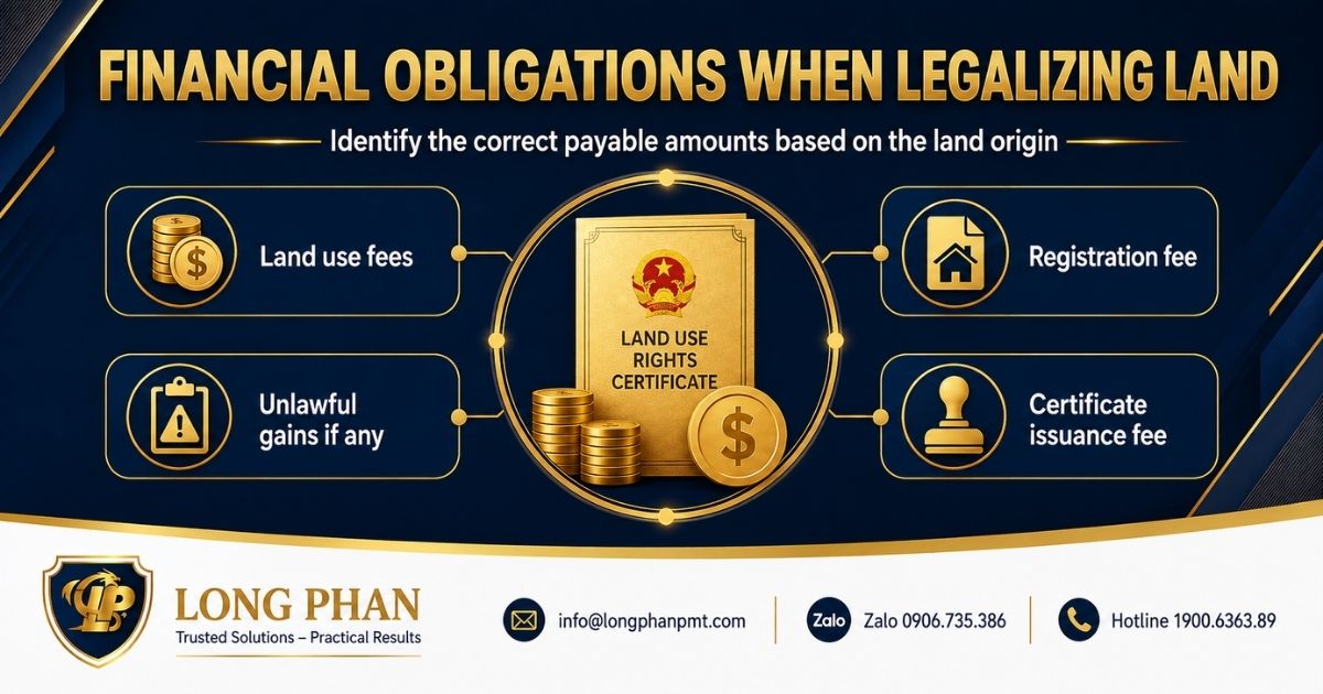
The land user’s rights are recognized based on the new map extract, and they must pay the survey fee. If the re-measured area is larger than the area on the original Certificate and the boundaries are unchanged, the land user must fulfill financial obligations for the increased residential land area exceeding the residential land limit and land rent for the increased area as per regulations at the time the original Certificate was issued.
Sends a “Request for Information to Determine Financial Obligations” (Form No. 19/DK) to the tax authority to determine and notify financial obligations.
Updates the cadastral records and land database. Issues the Land Use Rights Certificate and either returns it directly or sends it to the receiving authority to be given to the applicant.
Step 4: Return of Results The final Certificate is returned to the applicant.
As per Decree 151/2025/NĐ-CP, the processing time for land area adjustments where boundaries are unchanged is:
Standard: Up to 10 working days.
Difficult Regions: An additional 10 working days.
This timeline excludes initial dossier reception, time for the user to complete financial obligations, and delays from handling legal violations or seeking expert opinions.
Carry out the procedure for changing the Land Use Certificate when there is a discrepancy in area
Consulting Services for Handling Area Discrepancies at Long Phan Consulting Company
Long Phan Consulting Company offers comprehensive legal consulting for handling area discrepancies in land registration. Our team of experienced lawyers specializing in Land Law will assist you with:
In-depth Legal Consultation: We review existing legal records, examine the Land Use Rights Certificate and related documents, analyze their legality, and identify issues.
Analysis: We analyze the cause of the discrepancy, assess the feasibility of resolution, and propose optimal solutions.
Dossier Preparation: We assist in preparing a complete and accurate legal dossier according to regulations.
Representation: We represent you in submitting the dossier and working with competent authorities.
Progress Monitoring: We track the processing of your dossier and provide timely updates.
Frequently Asked Questions about Handling Area Discrepancies in Land Registration
What should I do if adjacent landowners refuse to sign the boundary confirmation record?
In this case, the land user can submit a request to the commune-level People’s Committee to organize mediation. If mediation fails, you have the right to file a lawsuit at a competent People’s Court to resolve the boundary dispute, which will serve as the basis for proceeding with the Certificate adjustment. Handling area discrepancies in land registration often starts with neighborly agreement.
How are financial obligations for the increased land area calculated?
The financial obligation for the additional area is determined based on the origin of that land and its compliance with planning. The tax authority will use the land price list issued by the provincial People’s Committee at the time the financial obligation is determined to calculate the amount payable.
Are there penalties for not reporting a known area surplus?
Current law primarily encourages voluntary adjustment. However, if the increased area is due to encroachment on public land or another person’s land and is discovered, the violator may face administrative penalties and be forced to return the land.
If an area discrepancy is found during a sale transaction, who is responsible for resolving it?
The seller is responsible for ensuring the legal status of the property. Therefore, the seller is primarily responsible for carrying out the procedures to adjust the Certificate to match the actual area before completing the transaction. The parties can agree to temporarily halt the transaction or share the associated costs.
Who pays the cost of re-measurement to resolve an area discrepancy?
Typically, the person requesting the replacement of the Certificate pays the re-measurement fee to a qualified surveying unit. However, if the error is determined to be the fault of a state agency from a previous measurement, there may be provisions for cost support or exemption.
Can I authorize someone else to handle the procedure for resolving an area discrepancy?
Yes, you can authorize another person according to the law. The power of attorney must be notarized or certified and clearly state the scope of authorization. The authorized person must present valid personal identification and the power of attorney when carrying out the procedure.
Conclusion
Handling area discrepancies in land registration is a complex legal issue requiring a deep understanding of legal regulations. Long Phan Consulting Company, with its team of professional lawyers, will partner with you to resolve all land area discrepancy issues effectively and economically. Contact our hotline at 1900636389 for detailed consultation and timely support.
Facebook
Linkedin
Twitter
Pinterest
Phan Mạnh Thăng
Mr. Phan Manh Thang, CEO, is the founder of Long Phan Investment Consulting and Legal Services Company Limited. With over 13 years of experience in the fields of land and corporate law, CEO Phan Manh Thang has been advising and partnering with numerous clients throughout their business operations and enterprise expansion. Concurrently, he serves as the Managing Lawyer of Long Phan PMT Law Firm, established in 2019.
His specialized expertise and practical experience have consistently earned him the trust and high regard of his clients.